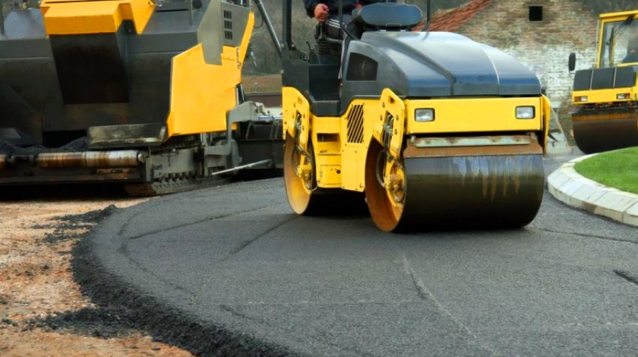


Kazakh scientists propose to introduce digital model of railway
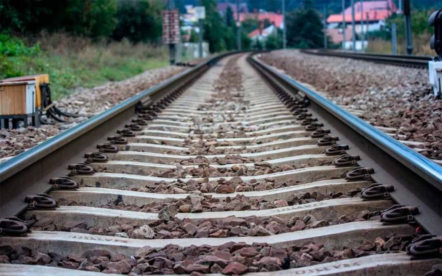
A new geoinformation system for railways based on space technologies may appear in Kazakhstan. This innovation was developed by experts of the Earth Remote Sensing Center at Al-Farabi Kazakh National University. On the basis of the given system, domestic scientists propose to create an electronic vector map of railway tracks. It will become a kind of modern satellite navigation, primarily useful for railway workers. For example, the entire infrastructure around the railway, including stations and crossings, can be added to the system. It makes it possible to register every single detail, from a semaphore to sleepers. Rail workers will be able to enter online data into the system on the malfunctions at any section of tracks via a tablet. This will enable a rail traffic controller to promptly and timely transmit information to the situation center.
“An electronic vector map can be combined with the database, which alongside with the railway infrastructure provides information on a particular department, its head, and the time when repair works were carried out there. Not only railway workers, but also passengers have access to these data. They can get information on which railway track a certain train departs from, the cities it passes by, the time left before arrival, as well as the distance covered,” said Bakhyt Sakhariyev, creator of digital railway model.
Related Articles